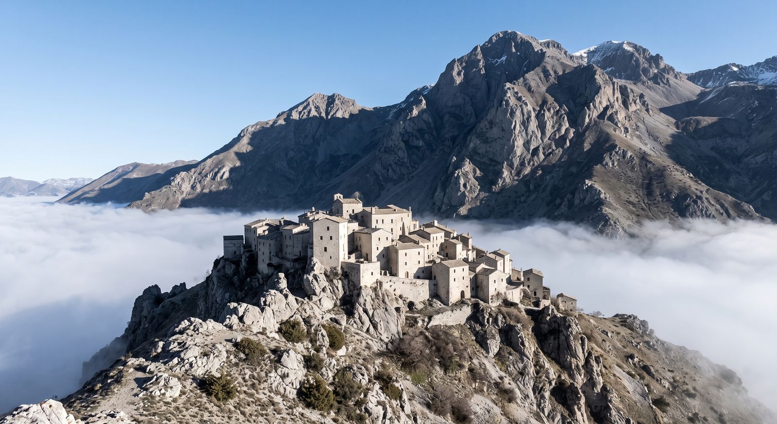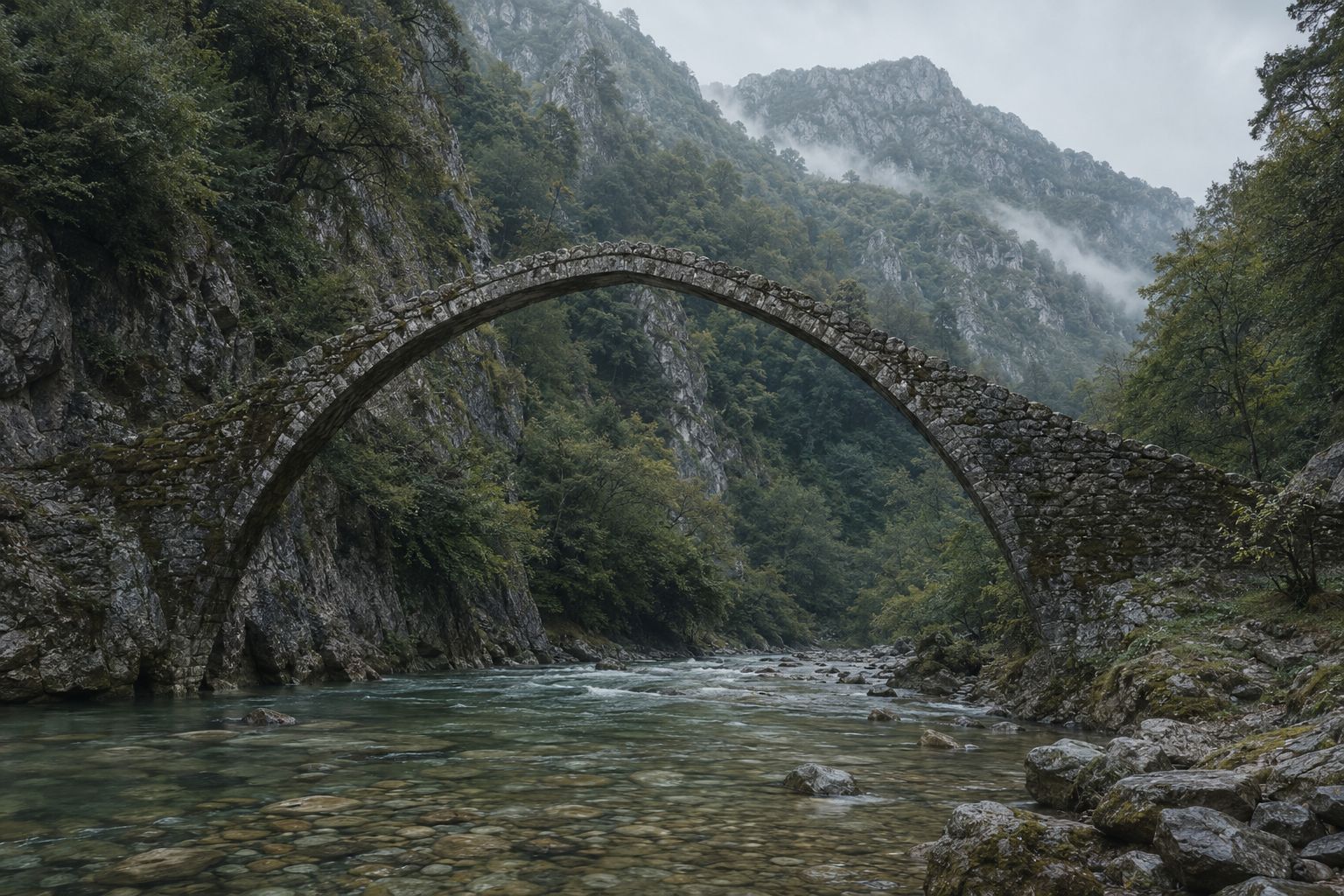
Forty-six villages built of grey stone, in mountains near the Albanian border, connected by paths and eighteenth-century bridges. There is no coastline in this article.
British visitors to Greece go to islands. This is so nearly universal that the mainland north of Athens functions as a different country in the collective imagination, and Epirus — the mountainous northwest, up against the Albanian border — might as well not exist.
It contains one of the more remarkable walking landscapes in Europe.
What Zagori is
A region of forty-six villages — the Zagorochoria — in the Pindus mountains, built substantially of the local grey stone: walls, roofs, streets and boundary walls all of the same material, which gives the villages a coherence that is unusual and, in bad weather, slightly severe.
The villages were historically prosperous through trade and a diaspora that sent money home, which is why the architecture is more ambitious than a remote mountain settlement would normally support. The bridges are the clearest evidence of it: single, double and triple-arched packhorse bridges built through the eighteenth and nineteenth centuries, often funded by a named individual, spanning rivers in places where a simpler crossing would have done.
Several are still in use as footpaths. Walking over one is the single most photographed thing in the region and remains worth doing anyway.
The gorge
The Vikos gorge runs for roughly twelve kilometres between Monodendri and the Papigo villages, and it is cited — on the basis of depth relative to width — as among the deepest in the world.
The through-walk is the classic day of the region and it is a serious one: a long descent, a rough river-bed section that is slow going underfoot, and a substantial climb out at the far end. Most people take somewhere between six and eight hours and most people underestimate it.
It is not technically difficult and it is not a stroll. Water availability along the route varies by season, the river bed can be dry, and once you are committed there is no easy exit in the middle. Start early, carry more water than you think, and arrange transport at the far end rather than assuming you will walk back.
If the full gorge is too much
The Beloi viewpoint above Vradeto gives you the gorge from above for a fraction of the effort, and the view from the top is arguably better than the view from inside it.
Getting to Vradeto is itself the other great short walk of the region: a stone stairway of many switchbacks zigzagging up a cliff face, built as the only access to the village before a road existed. It is short, steep and extraordinary.
The villages worth basing yourself in
Papigo — there are two, Megalo and Mikro, a short distance apart — sits under the Astraka towers, a wall of grey rock that changes colour through the day. It is the best base for the northern end of the gorge and for going higher.
Monodendri anchors the southern end, has a monastery built onto the cliff edge, and is where most people start the gorge walk.
Dilofo, Kipoi and Vitsa are quieter, closer together, and better if you want to walk between villages rather than tackle the gorge. Kipoi has the highest concentration of the famous bridges within easy reach.
Going higher
Above Papigo the ground rises to a mountain refuge at around two thousand metres, and beyond it lies a small alpine lake — one of the drakolimnes, the dragon lakes, of which there are several in these mountains and about which there is a folk tale involving a fight between two dragons.
This is a proper mountain day with a genuine climb, and the refuge makes an overnight possible. If you have three days in Zagori, this is the third one.
THE PRACTICAL WARNING WORTH TAKING SERIOUSLY
The gorge and the high routes are not casual. There is no phone signal for long stretches, no easy exit from the middle of the gorge, and mountain weather that changes.
Tell your accommodation your route and your expected return. Carry water, a paper map and something warm regardless of the temperature when you set off.
This is standard mountain practice rather than excessive caution, and it applies here more than it does in most of Greece because the terrain is genuinely remote.
When to go
Late spring and autumn. May and June are green with high water and wildflowers; September and October give clear air, low water in the gorge and beech turning on the slopes. Winter closes the high ground and brings snow to the villages, which is beautiful and limits walking severely. Midsummer is hot in the gorge, where there is no breeze.
Getting there
Ioannina is the gateway city, and it is worth a day of its own — a lakeside town with an Ottoman citadel and an island in the middle of the lake reached by ferry. From the UK you will usually route via Athens or Thessaloniki.
From Ioannina, a car. The villages are close together on the map and separated by valleys in practice, and the driving times are longer than they look.
Staying connected, honestly
The villages have signal. The gorge does not, for most of its length, and neither do the high routes above Papigo.
This matters more here than in most walking areas because of the specific shape of the terrain: a twelve-kilometre gorge with steep sides and no mid-point exit is exactly the geometry that blocks signal and also makes it most useful. Assume you will be uncontactable for the whole of the gorge day.
Practically: download the offline map before you leave the village, screenshot your accommodation details and the transport arrangement at the far end, and tell somebody your plan. None of that requires buying anything, and all of it matters more than which phone you carry.
Why it is worth the trouble
Because it is the opposite of what people expect from Greece, and because the combination — engineered stone landscape, serious mountains, near-total absence of other visitors — does not really exist elsewhere in the country.
And because you will come back from Greece with photographs that nobody can immediately identify, which is a small and real pleasure.
A short list, and one longer note about the gorge day
Transport arranged at the far end before you set off. The gorge is a through-walk, not a loop, and the walk back is the walk again.
More water than the distance suggests. River-bed sections can be dry and there is no reliable resupply.
A paper map as well as a downloaded one.
Something warm, whatever the valley temperature. The tops and the refuge are a different climate.
A data connection working before you leave the village — a travel eSIM set up at home, or your roaming terms understood. It will not help you inside the gorge, where there is no signal at all, but it is what lets you confirm the pickup, check the forecast and send the message saying you are down, all of which happen at the ends of the day when it matters.
On the gorge specifically: assume you are uncontactable for the whole of it. Twelve kilometres of steep-sided rock with no mid-point exit is exactly the geometry that blocks signal, and exactly the geometry that makes it most useful. Tell your accommodation your route and your expected return time, and mean it.
Before you go
Late spring and autumn. May and June are green with high water and wildflowers; September and October give clear air, low water in the gorge and beech turning on the slopes. Midsummer is hot down in the gorge where there is no breeze. Winter closes the high ground.
If a six-to-eight hour gorge walk is not what you came for, there is plenty here that is not that: the Beloi viewpoint gives you the gorge from above for a fraction of the effort, the Vradeto steps are short and extraordinary, and the paths between Kipoi, Dilofo and Vitsa are gentle and take in most of the famous bridges.
Fly to Ioannina if you can, and give the city a day — lakeside, Ottoman citadel, an island in the middle of the lake reached by ferry. From there you will want a car. The villages look close together on a map and are separated by valleys in practice.